Description
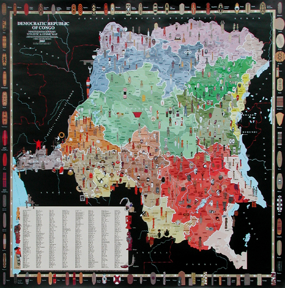
ILLUSTRATED Ethnic Map of Democratic Republic of Congo
Cartography and computer graphics by Charles Meur
The various ethnic groups populating the Democratic Republic of Congo, divided into 16 stylistic zones abundantly illustrated by +/- 500 drawings of sculptures, masks, weapons and shields.
Alphabetical index
70 x 70 cm, 4 colors on paper


